top of page

SUMMER 2013
INTERACTIVE MIAMI
The concept behind this intervention is to help visitors and residents of DownTown Miami, navigate through the city with the aid of an Interactive System of Vectors that connects places of interest. Landscaping interventions are used for the representation of the different programmatic diversity of events that are available in DownTown Miami. Also this wayfinding project intends to clarify the misconception of where a pedestrian should croos the steet and make the car a secondary priority, especially in the major intersections located at Biscayne Blvd. This system is intended to carry throughout the rest of Miami not only in DownTown, but also in Miami Beach, Design District and other areas of interest.
PROCESS
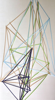
AND PRECEDENCE


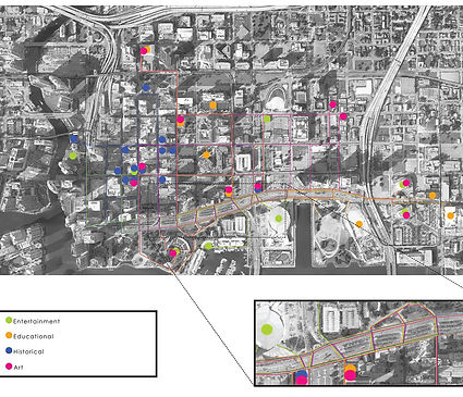

PLACES OF INTEREST


RENDERINGS
SITE PLAN


LONGITUDINAL SECTIONS

3D SITE PLAN
MODEL PHOTOGRAPHS


bottom of page